Hurricane Erin forecasted to bring life-threatening surf and rip currents as Category 4
Read Original Source
Hurricane Erin reduced its fury late Monday and returned to Category 3 potency, but was still expected to bring potentially deadly waves and rip currents to the East Coast midweek. Limited time: Save 25% on NBC News subscription Get exclusive reporting, live Q&As and ad-free reading. Erin was 780 miles south-southeast of Cape Hatteras, North Carolina, with maximum sustained winds of 125 mph and a northwest path clocked at 8 mph, according to the National Hurricane Center's late-night update Monday.
AI Summary
Main Idea: Hurricane Erin weakened to Category 3 but is still expected to bring dangerous surf, rip currents, flooding, and coastal damage to North Carolina and other East Coast areas.
Key Points:
- The storm was forecast to stay a major hurricane through midweek as it moved north over open water.
- North Carolina officials warned of storm surge, beach flooding, and waves that could make Highway 12 impassable for days.
- Governor Josh Stein urged coastal residents to prepare for dangerous surf, rip currents, and flooding, while some areas ordered evacuations.
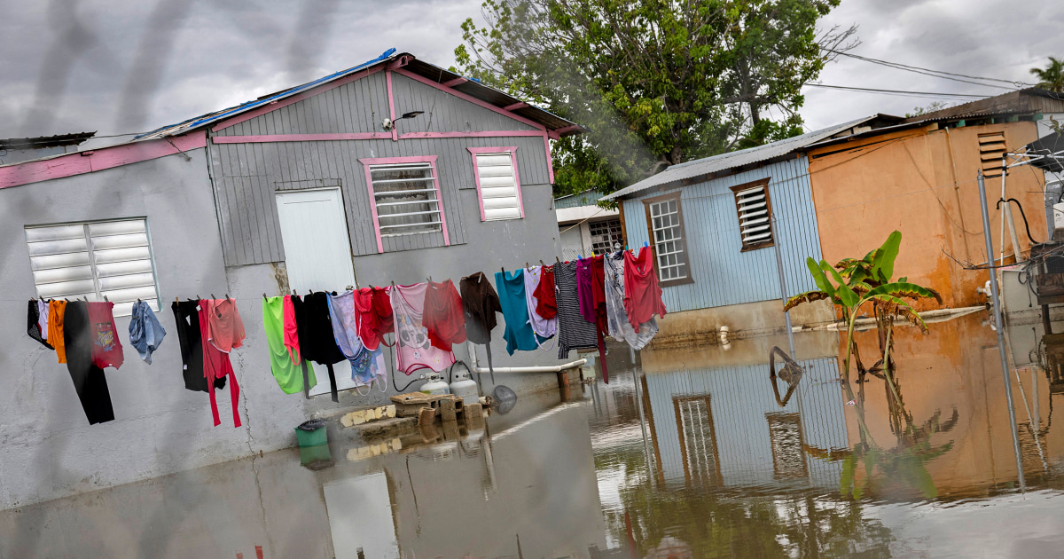
- Erin also affected the Caribbean, cutting power in Puerto Rico and forcing closures and sheltering in the Turks and Caicos Islands and the Bahamas.
Impact on the People
Negative Impact
Hurricane Erin may bring deadly surf, rip currents, flooding, and road closures in North Carolina, disrupting travel, work, and coastal businesses.
Positive Impact
No clear positive impact identified.
How did each entity affect people?
Rate how each entity in this article affected the American people.
- Primary:Hurricane Erinbrand / product
- Major:Governor Josh Steinperson
Candidate Entities7 candidates · 5 weighted vote min · 70% decision
- Hurricane Erinbrand / productPrimaryEvaluated
Central named storm discussed throughout the article, driving the weather threat, evacuations, and coastal impacts.
Include 0 (0%)Ignore 0 (0%)5 to threshold - Governor Josh SteinpersonMajorEvaluated
North Carolina governor quoted warning coastal residents to prepare for dangerous surf, rip currents, and flooding.
Include 0 (0%)Ignore 0 (0%)5 to threshold - Dare CountycountyMajorAI selected
Local government issuing a state of emergency and mandatory evacuations for Hatteras Island.
Include 0 (0%)Ignore 0 (0%)5 to threshold - North CarolinastateMajorAI selected
State whose coast is facing storm surge, evacuations, flooding, and official warnings.
Include 0 (0%)Ignore 0 (0%)5 to threshold - National Weather Servicegovernment agency or bodyContextCandidate
Forecast office providing warnings about dangerous surf and waves along the Mid-Atlantic coast.
Include 0 (0%)Ignore 0 (0%)5 to threshold - PhiladelphiacityMinorCandidate
City-level place named through the National Weather Service office covering the area and its coastal warning context.
Include 0 (0%)Ignore 0 (0%)5 to threshold - Wrightsville Beach Ocean Rescuegovernment agency or bodyMinorCandidate
Local rescue operation conducting numerous rescues amid rough seas and rip currents.
Include 0 (0%)Ignore 0 (0%)5 to threshold
Comments 0
Comments here are the same thread shown when this article appears in The Pulse.
No comments on this article yet.
Sign in to comment